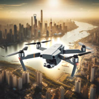
Services
Captivating Aerial Imagery and Video
Real Estate Photography
Transform your property listings with stunning aerial shots. Our drone photography captures the full scope and beauty of real estate properties, providing prospective buyers with a unique and comprehensive view that traditional photography simply can't match.
Cinematic Video
Experience the art of filmmaking from a new angle. Our team creates cinematic drone videos that elevate your projects, whether it's for promotional content, artistic endeavors, or personal milestones. We craft visually captivating stories that leave a lasting impression.
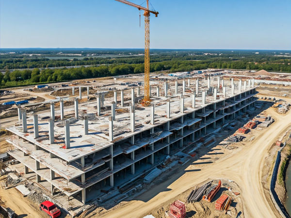
Construction Site Monitoring
Stay on top of your construction projects with our drone monitoring services. We provide real-time updates, progress tracking, and detailed aerial views that help you manage timelines, resources, and site safety more effectively.
Drone Inspection Services
Ensure the safety and integrity of your assets with our comprehensive drone inspection services. From detailed close-ups to broad overviews, we offer thorough inspections that are quicker, safer, and more cost-effective than traditional methods.
Infrastructure Inspection
Keep your infrastructure in top condition with our precise drone inspections. We cover bridges, roads, pipelines, and more, identifying potential issues before they become costly problems. Our drones deliver high-resolution images and data for informed decision-making.
Building and Roof Inspection
Maintain the health of your buildings with our drone-assisted inspections. Our drones can safely and efficiently inspect roofs and building exteriors, identifying damage or wear and tear without the need for scaffolding or ladders.
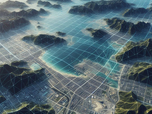
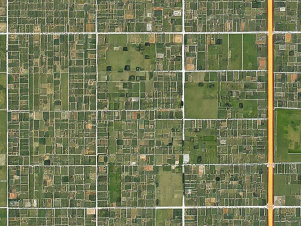
Mapping and Surveying
Achieve unparalleled accuracy in your surveys and maps. Our drone technology allows us to cover large areas quickly, providing detailed and accurate topographical maps and surveys that are essential for planning, construction, and environmental monitoring.
Orthomosaics and Aerial Survey
Create detailed orthomosaics and aerial surveys with our state-of-the-art drones. These high-resolution, georeferenced images are perfect for land management, agriculture, urban planning, and more, offering a comprehensive view from above.
Data Capture and Analysis
Harness the power of data with our advanced drone data capture and analysis services. We provide actionable insights through precise data collection and sophisticated analysis, helping you make informed decisions for your business or project.